
GIS for Architecture, Planning & Urban DesignVolume 1 · Issue 5 · October 2026
GIS for Architecture, Planning & Urban Design
Read, analyse and design the built environment with geographic data — from your first map to a full spatial plan.
A free Studio Matrx Academy deep dive into Geographic Information Systems for the built environment — spatial thinking, the tools you will actually use, where the data comes from, vector and raster analysis, remote sensing, and GIS for architecture, master planning and urban design. Grounded in India's real geospatial ecosystem (ISRO Bhuvan, Survey of India, the National Geospatial Policy 2022) and global standards (OGC, ISO 19100, EPSG), hands-on in QGIS and ArcGIS.
Course byAmogh N P· Architect & interior designer12 modules · 48 lessons · ~14 hrs · 48 of 48 lessons live

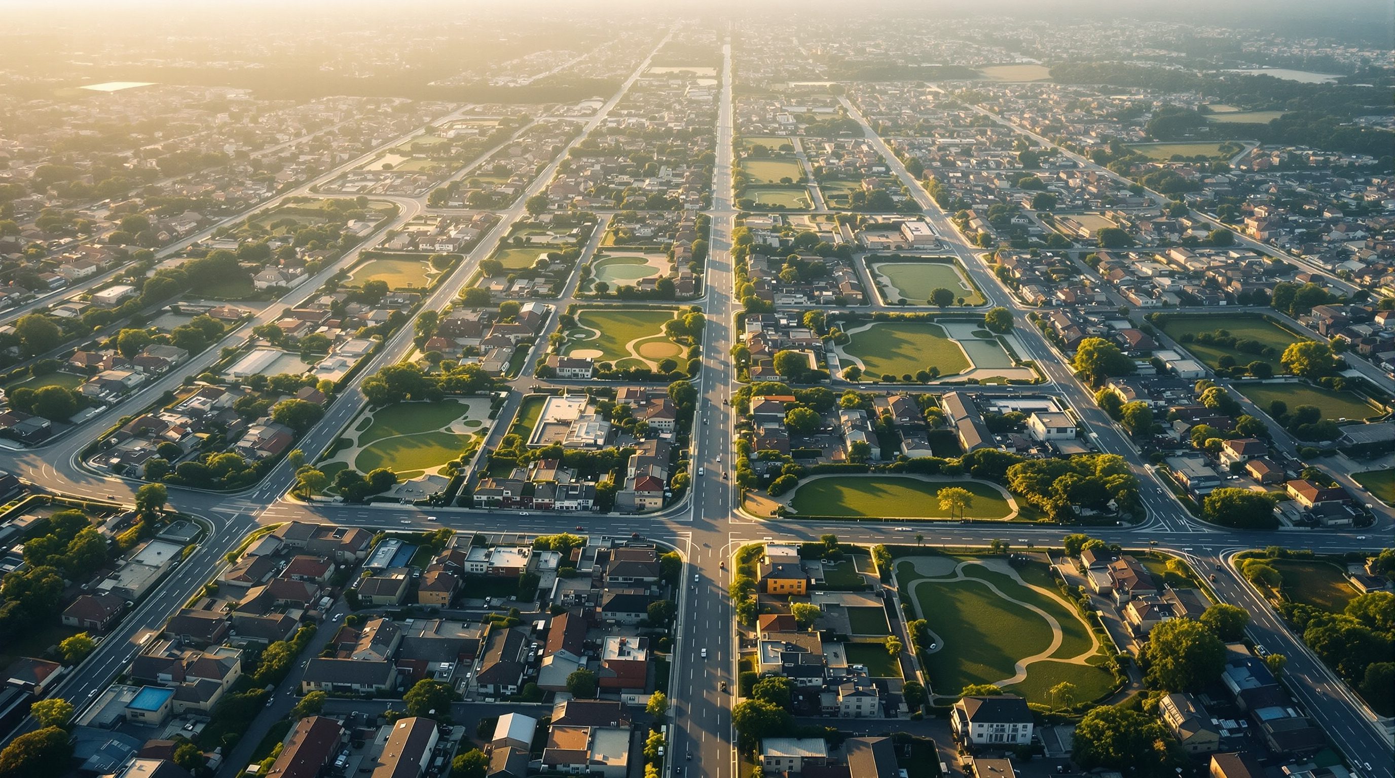 Module 0 · Ground Rules — Thinking Spatially
0.1 · What GIS Is (and Isn't) for Designers
GIS is not drawing software that makes maps — it is a system that links every location to information you can question. For architects and planners, it answers the one question design always begins with: where, and why there?
Read itStart with Module 0 — Ground Rules — Thinking Spatially
Free · open0.1 · What GIS Is (and Isn't) for Designers
Open0.2 · Vector, Raster, Features & Layers
Open0.3 · Coordinate Systems, Projections & Datums
Open0.4 · Spatial Data Formats
Open0.✓ · Mastery check: Thinking Spatially
OpenWhat you'll be able to do
Outcomes- 1Think spatially — know what GIS is and is not for a designer, and how the world becomes vector and raster data.
- 2Choose and drive the right tool — QGIS and ArcGIS — and move data cleanly between GIS, CAD and BIM.
- 3Run the core analyses: buffers and overlays, terrain and viewsheds, and multi-criteria site suitability.
- 4Read the city from data — land use, remote sensing, master plans, walkability and accessibility — India-grounded.
The full course ahead
12 modules · 48 lessonsThe course opens with thinking spatially, then walks the tools you will actually use, where the data comes from, georeferencing and data preparation, vector and raster analysis, and remote sensing — before turning to GIS for architecture and site analysis, urban planning and urban design, cartography and communication, and a professional-practice capstone that models a neighbourhood end to end.
0Module 0 · Ground Rules — Thinking Spatially
LiveBefore any software: what GIS is and is not for a designer, the two ways the world becomes data, coordinate systems and why maps lie, and the file formats you will meet every day.
Module 0 · Ground Rules — Thinking Spatially
LiveBefore any software: what GIS is and is not for a designer, the two ways the world becomes data, coordinate systems and why maps lie, and the file formats you will meet every day.
1Module 1 · Tools of the Trade
LiveThe software you will actually use — QGIS free and professional, ArcGIS Pro and Online, web GIS, and how GIS talks to CAD and BIM.
Module 1 · Tools of the Trade
LiveThe software you will actually use — QGIS free and professional, ArcGIS Pro and Online, web GIS, and how GIS talks to CAD and BIM.
2Module 2 · Acquiring Spatial Data
LiveWhere the data comes from — Survey of India and OpenStreetMap base maps, satellite imagery, elevation models, and census, cadastral and field data, India-first.
Module 2 · Acquiring Spatial Data
LiveWhere the data comes from — Survey of India and OpenStreetMap base maps, satellite imagery, elevation models, and census, cadastral and field data, India-first.
3Module 3 · Georeferencing & Data Preparation
LiveTurning raw material into a working dataset — georeferencing a scanned master plan, digitising with clean topology, attribute joins, and reprojection.
Module 3 · Georeferencing & Data Preparation
LiveTurning raw material into a working dataset — georeferencing a scanned master plan, digitising with clean topology, attribute joins, and reprojection.
4Module 4 · Vector Spatial Analysis
LiveThe core analytical toolkit — buffers and proximity, overlay operations, spatial queries, and network analysis for access and walkability.
Module 4 · Vector Spatial Analysis
LiveThe core analytical toolkit — buffers and proximity, overlay operations, spatial queries, and network analysis for access and walkability.
5Module 5 · Raster & Terrain Analysis
LiveWorking with the grid — map algebra, terrain derivatives, viewshed and hydrology, and multi-criteria site suitability with AHP.
Module 5 · Raster & Terrain Analysis
LiveWorking with the grid — map algebra, terrain derivatives, viewshed and hydrology, and multi-criteria site suitability with AHP.
6Module 6 · Remote Sensing for the Built Environment
LiveReading the city from orbit — land-use / land-cover classification, vegetation indices, urban heat island mapping, and change detection for sprawl.
Module 6 · Remote Sensing for the Built Environment
LiveReading the city from orbit — land-use / land-cover classification, vegetation indices, urban heat island mapping, and change detection for sprawl.
7Module 7 · GIS for Architecture & Site Analysis
LiveGIS at building scale — mapping site context and constraints, solar and microclimate, zoning and FSI overlays, and 3D city models linking LiDAR, CityGML and BIM.
Module 7 · GIS for Architecture & Site Analysis
LiveGIS at building scale — mapping site context and constraints, solar and microclimate, zoning and FSI overlays, and 3D city models linking LiDAR, CityGML and BIM.
8Module 8 · GIS for Urban Planning
LiveGIS at city scale — the Master Plan / Development Plan / CDP process, land-use zoning and FAR allocation, infrastructure networks, and density and accessibility gap analysis.
Module 8 · GIS for Urban Planning
LiveGIS at city scale — the Master Plan / Development Plan / CDP process, land-use zoning and FAR allocation, infrastructure networks, and density and accessibility gap analysis.
9Module 9 · GIS for Urban Design & Analytics
LiveGIS at street scale — walkability and the 15-minute city, space syntax and visibility, urban morphology, and transit accessibility, TOD and PTAL.
Module 9 · GIS for Urban Design & Analytics
LiveGIS at street scale — walkability and the 15-minute city, space syntax and visibility, urban morphology, and transit accessibility, TOD and PTAL.
10Module 10 · Cartography, Visualization & Communication
LiveMaking the map say something — symbology and classification, thematic and choropleth maps, web maps, dashboards and story maps, and 3D visualisation for clients and authorities.
Module 10 · Cartography, Visualization & Communication
LiveMaking the map say something — symbology and classification, thematic and choropleth maps, web maps, dashboards and story maps, and 3D visualisation for clients and authorities.
11Module 11 · Professional Practice & Capstone
LiveGIS as a discipline — spatial databases with PostGIS, automation with Python, metadata and the National Geospatial Policy, and an end-to-end capstone project.
Module 11 · Professional Practice & Capstone
LiveGIS as a discipline — spatial databases with PostGIS, automation with Python, metadata and the National Geospatial Policy, and an end-to-end capstone project.
The author
Amogh N P
Architect, interior designer, and creative polymath. Studio Matrx began in his notebooks — his vision of design made honest, useful, and open to everyone. Its Academy is written and taught in his memory, and free, forever.
More about Amogh →