
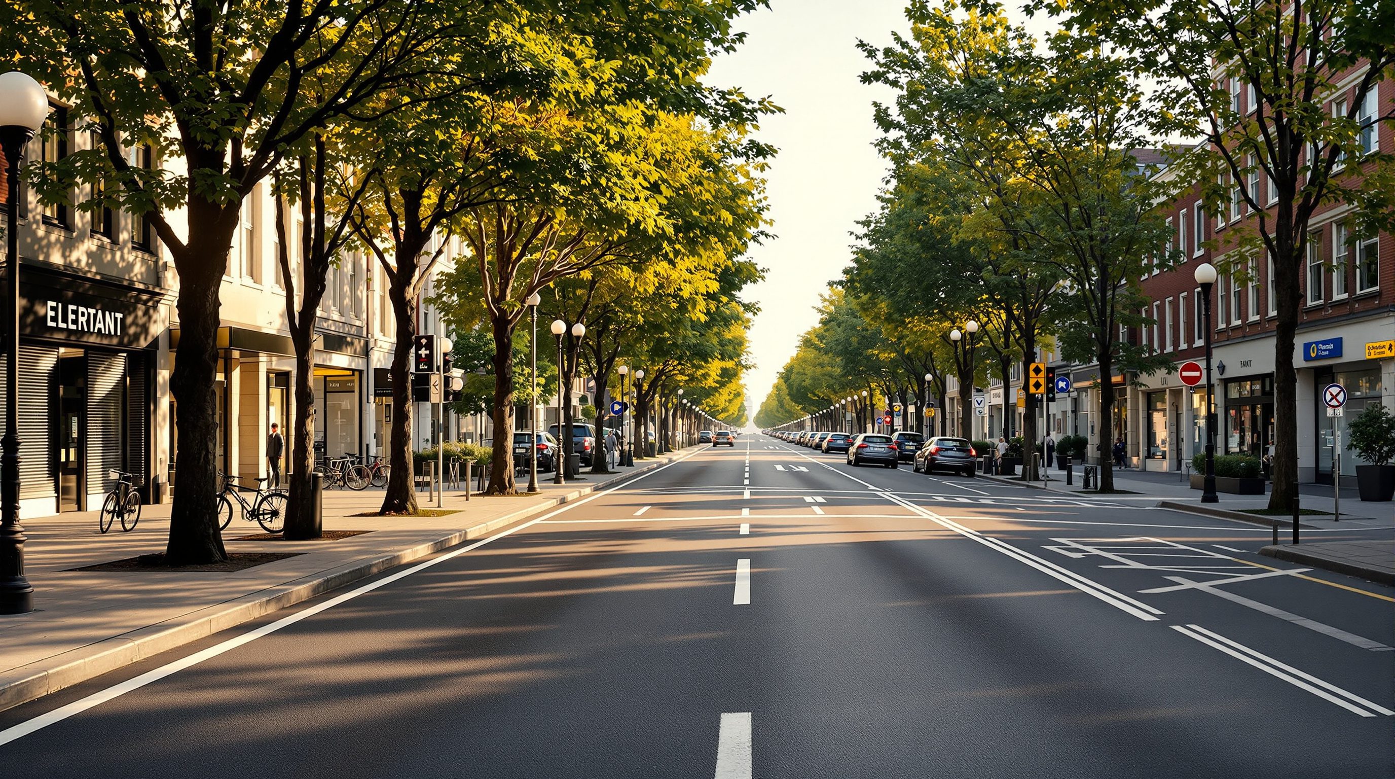
 Lesson 3.1
Lesson 3.1 · Streets, Movement & Networks
Street Design & Complete Streets
Designing the street as a room, not a road for cars alone
The street is a room, not a pipe
For a century we designed streets to move cars fast and everything else got the leftovers. A complete street inverts that logic: it starts with the person walking and works outward. Get the cross-section right and you have made public life possible on the cheapest, most abundant land the city owns.
Cut any street in your mind, building to building. Whoever gets the widest zone is who the street is really for.
A road is not a street
Begin with a distinction that reorganises everything that follows. A road connects two places; a street is a place. A road's single job is efficient movement between origin and destination, and by that logic every extra second of delay is a defect to be engineered away. A street does something richer: it moves people and goods, but it also hosts commerce, conversation, protest, procession, play, and the simple business of being seen in public. Léon Krier put it sharply when he argued that the modern city confused the two, turning streets into roads and stranding buildings along traffic sewers. Jane Jacobs saw the consequence at eye level in The Death and Life of Great American Cities: the safety and vitality of a district rests on its sidewalks and the 'eyes on the street' that active frontages provide. When you widen a carriageway to shave travel time, you are quietly deciding that this stretch is a road and not a place, whether or not shopfronts, homes and temples still line it. Most Indian arterials were designed as roads while functioning, in daily life, as intense streets, which is the root of their danger and their disorder. Think of a stretch like Bengaluru's Old Madras Road or any state-highway segment that a town has grown around: engineered for through-speed, it is used for crossing to the vegetable market, waiting for a bus, and children walking to school, and the mismatch is measured in casualties. Camillo Sitte, writing in 1889, already warned that treating urban space as a purely engineering problem, all width and radius and flow, would strip it of the enclosure and incident that make a place feel human. Naming the type honestly is the first act of design, because the type dictates the standard: you do not hold a place to a road's speed, nor a road to a street's frontage expectations.
Anatomy of the right-of-way
Everything a street does is negotiated across its cross-section, the slice you would see if you cut the right-of-way and looked at the cut face. Read from building to building, a well-made urban street organises into zones. Against the buildings sits the frontage zone, where doors swing, goods spill onto steps and cafes place chairs. Next comes the clear pedestrian through-zone, an unobstructed walking path, typically 1.8 to 2.5 metres, that a wheelchair or a person with a cane can traverse without detour. Then the furniture-and-multi-use zone absorbs trees, streetlights, bus shelters, vending, parking and, crucially in India, the utility boxes and hawker stalls that otherwise colonise the walkway. Only after all of this comes the carriageway for vehicles, ideally with a dedicated cycle track buffered from moving traffic, and a median where the street is wide. The discipline of the cross-section is that width is finite and every zone competes for it. Complete-street design makes that competition explicit and settles it in favour of the most vulnerable and most numerous users first. A useful discipline is to size the through-zone before anything else: fix a continuous, level walking path of at least 1.8 metres, enough for two people or a wheelchair to pass, and only then distribute what remains. Two further rules keep a section honest. First, the through-zone must be continuous, not interrupted every few metres by a pole, a ramp or a tree pit; discontinuity is what makes so many Indian footpaths technically present but practically useless. Second, every fixed object, from the transformer to the bus shelter to the vendor, belongs in the furniture zone by design, so it never migrates into the walking path. The figure shows a balanced arrangement you can adapt to widths from a 12-metre local street to a 30-metre arterial.
What 'complete' actually means
A complete street is one designed and operated to be safe and comfortable for everyone who uses it, regardless of age, ability, or mode: the eight-year-old walking to school, the eighty-year-old with a walker, the vegetable vendor, the cyclist, the bus passenger and, yes, the car. It is not a fixed template but a policy commitment that reframes the default. The conventional default asks 'how many vehicles can we push through here?' and treats footpaths as an afterthought. The complete-street default asks 'who needs to use this street, and how do we serve each of them adequately?' In practice this means continuous, obstacle-free footpaths, safe frequent crossings, protected cycling where speeds or volumes demand it, orderly on-street parking and vending, shade, drainage and lighting, all designed together rather than bolted on. The National Association of City Transportation Officials codified this thinking for practitioners in its Urban Street Design Guide, and the Global Designing Cities Initiative extended it worldwide in the Global Street Design Guide, which pointedly draws its examples from Mumbai, Addis Ababa and Sao Paulo as much as from New York.
Complete streets, Indian ground
India did not import complete streets so much as rediscover the necessity. ITDP India has worked with cities including Chennai, Pune and Coimbatore to redesign streets around the majority who walk, cycle and take the bus. Chennai's Corporation adopted a Non-Motorised Transport policy committing a share of the transport budget to footpaths and cycle tracks, and redesigned stretches of streets such as those around T. Nagar with continuous walkways, tabletop crossings that raise the crossing to footpath level and force vehicles to slow, and organised vending. The realities are specific and stubborn. Indian footpaths are routinely lost to parked two-wheelers, transformer boxes, debris and encroachment; a footpath that exists on the drawing but is unwalkable in practice is not a footpath. Good Indian street design therefore designs for the vendor and the parked scooter rather than pretending they will vanish, giving each a defined place so the through-zone stays clear. It also designs for the monsoon: a footpath that floods or a carriageway that ponds is a public-health problem, not merely a comfort one. The lesson is that a complete street in Chennai looks different from one in Copenhagen, and should.
Link and place: a design matrix
How do you decide how much movement versus how much place a given street should serve? The 'link and place' framework, developed by Peter Jones and colleagues and now embedded in the Global Street Design Guide's thinking, gives you a two-axis matrix. The 'link' axis measures a street's importance for movement through the network; the 'place' axis measures its importance as a destination in its own right. A motorway is high link, low place. A quiet residential lane is low link, high place. A high street or a bazaar road is high on both, which is exactly why it is hard, and why treating it as a pure link ruins it. Plotting your street on this matrix tells you what to optimise: where place is high, prioritise slow speeds, wide footpaths and crossings; where link dominates and place is low, movement efficiency can lead. Crucially, it lets a city hold different streets to different standards on purpose rather than applying one arterial template everywhere. The figure maps common street types onto the matrix.
Speed is the master variable
If you change only one thing about a street, change its design speed, because speed governs both safety and sociability. The physics are unforgiving: a pedestrian struck at 30 km/h has a high chance of survival, while at 50 km/h the odds invert sharply, which is why 30 km/h zones have become standard practice for streets with heavy pedestrian activity. Speed is set less by the posted limit than by the geometry: wide lanes, long sight-lines and generous corner radii invite fast driving, while narrower lanes, tight corners, on-street parking, trees and frequent crossings naturally slow it. This is the craft of traffic calming, done through design rather than enforcement. Tabletop crossings, chicanes, kerb extensions at corners that shorten the crossing distance, and raised intersections all trade a little vehicular speed for a large gain in safety and comfort. The Woonerf, or shared street, pioneered in the Netherlands, takes this to its conclusion by removing the kerb line entirely and letting people and slow vehicles share one surface, with the environment signalling that this is a place to move carefully. Barcelona's superblocks apply the same instinct at neighbourhood scale, calming interiors and reclaiming asphalt as squares.
Reallocating space you already own
The most powerful fact about street design is that the land already belongs to the public. A complete street rarely requires buying land; it requires redistributing a right-of-way the city already controls. This is politically fraught because it is visibly zero-sum: a metre added to the footpath is a metre taken from parking or a traffic lane, and someone will notice. Tactical urbanism has become the pragmatic answer, testing a redesign in paint, planters and bollards before pouring concrete, so the public experiences the benefit before committing budget. New York's conversion of Times Square from traffic to plaza famously began with lawn chairs. Pune and Chennai have run pop-up cycle-track and plaza demonstrations to build support. The deeper point is that street design is not a technical exercise appended to planning; it is planning, at the finest grain, distributing the single most valuable and most contested public asset the city has. Streets typically make up a quarter to a third of a city's land, more public space than all its parks combined, and unlike parks they touch every plot and every citizen daily. Reallocating that asset is therefore among the highest-leverage moves an urban government can make, and it can begin tomorrow with paint. Master the cross-section and you hold the lever that every other module in this course ultimately pulls, from density and land use down to the placement of a single bench in the shade.
NACTO Urban Street Design Guide
Practitioner standards for designing city streets for all users
The reference framework for cross-sections, intersections and traffic calming; adapt dimensions to Indian conditions rather than copying US defaults.
Global Street Design Guide (GDCI)
Worldwide street-design guidance drawing on Global South cities
Explicitly addresses mixed traffic, vending and informal use, making it more directly applicable to Indian streets.
ITDP India / city NMT policies
Non-motorised transport and complete-street policy at city level
Chennai's NMT policy commits budget share to footpaths and cycle tracks; a model many Indian ULBs are adapting.
URDPFI Guidelines & IRC standards
Indian right-of-way widths, footpath and carriageway norms
Provide statutory reference dimensions; always confirm the applicable local Development Control norms with the authority.
Redesign a cross-section
Take one real street you use often and rebuild its right-of-way as a complete street, keeping the same total width.
Measuring tape or pacing, tracing paper, scale rule, pencil
Measure or estimate the building-to-building width of a street near you, then account for every metre in the existing condition.
- 1Draw the existing cross-section to scale, labelling each zone and its width, including where footpath is lost to parking, poles or vending.
- 2Classify the street on the link-and-place matrix and decide what it should prioritise.
- 3Redraw the section reallocating the same total width: set a clear 1.8m-plus through-zone, a defined furniture and vending zone, calmed carriageway lanes, and cycle provision if speeds or volumes warrant it.
- 4Note the speed-calming moves (lane narrowing, tabletop crossing, kerb extensions) and the one political trade-off your design demands.
You’ll walk away with
Two scaled cross-sections, before and after, with a short note on what you reallocated and why.
Three altitudes on the same idea
Read the band that fits you — or all three.
Your building meets the city at the frontage zone, so design the ground floor and its threshold as part of the street, not the plot. Active frontages, doors and windows onto the footpath, and generous setbacks given back as walkable space do more for street life than any facade gesture. Where your project fronts an arterial, argue for the street section, not just the building line.
As the urban designer you own the cross-section: you decide how the finite right-of-way is split between walking, cycling, transit, parking, vending, trees and traffic. Treat every metre as contested and allocate it deliberately by street type using the link-and-place matrix. Your deliverable is not a road alignment but a public room specified zone by zone, with speed as your primary safety lever.
Learn to see the cross-section. Stand at any street, mentally cut it building-to-building, and name the zones: frontage, walking, furniture, carriageway. Ask who the current split favours and who is left out. This one habit, practised on your daily walk, will teach you more about street design than a shelf of textbooks.
“Complete streets are anti-car; they just slow everyone down.”
Do it yourself
Quick checks before you move on.
- 1Name the four core zones of an urban street cross-section from building to carriageway.
- 2Plot a bazaar high street and a bypass on the link-and-place matrix and justify each position.
- 3Explain why 30 km/h, not 50, is the target design speed for a street with heavy pedestrian activity.
Pulling it together
Peer-reviewed journals & authoritative standards
- 01NACTO, Urban Street Design Guide — National Association of City Transportation Officials, 2013.
- 02Global Designing Cities Initiative, Global Street Design Guide — Global Designing Cities Initiative, 2016.
- 03ITDP India, Complete Streets and Non-Motorised Transport resources — Institute for Transportation and Development Policy, India, 2021.
- 04Town and Country Planning Organisation, URDPFI Guidelines — TCPO, Ministry of Housing and Urban Affairs, 2015.
The next lesson zooms into the most important user of all, the person on foot, and the craft of designing genuinely walkable streets.
The author
Amogh N P
Architect, interior designer, and creative polymath. Studio Matrx began in his notebooks — his vision of design made honest, useful, and open to everyone. Its Academy is written and taught in his memory, and free, forever.
More about Amogh →