
B.Arch CurriculumFree, forever
A tribute to Amogh N P
Surveying, Levelling & Site Planning
Measure the ground, then read it for design. Chain survey and levelling, the theodolite, contouring, and the modern toolkit — total station, GIS, GPS, LIDAR and drone photogrammetry — and finally site inventory, analysis and planning. Five units with three live calculators: reducing a level book, converting bearings, and finding the gradient between contours.
Course byAmogh N P· Architect & interior designer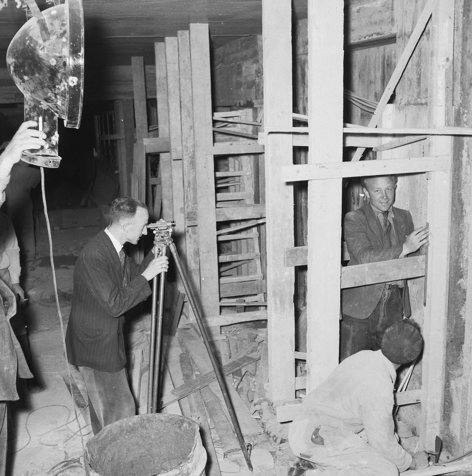
The syllabus
5 units · 5 liveTranscribed from the official B.Arch syllabus. All 5 units are live as full interactive lessons — with original diagrams, live calculators and a self-assessment quiz.
Unit 1 — Chain Survey & Levelling
LiveChain-survey principles, classification and instruments; ranging (direct and reciprocal) and offsets. Levelling — the level and staff, reduced levels, the HI and rise-and-fall reduction methods with the arithmetic check, longitudinal and cross sectioning, errors, and plane-table methods.
Unit 2 — Theodolite Survey
LiveThe theodolite and its parts; measuring horizontal and vertical angles; setting out the centre line of a building and setting out angles; traversing; whole-circle and reduced bearings and their conversion; and cutting and filling.
Unit 3 — Contouring
LiveContours and the contour interval; the characteristics of contours; direct and indirect methods of contouring and interpolation; gradient and slope; and the uses of a contour map.
Unit 4 — Total Station, GIS, LIDAR & Photogrammetry
LiveThe total station (electronic theodolite + EDM); GPS/GNSS; GIS and spatial layers; LIDAR and the point cloud; photogrammetry, aerial and drone survey; and the modern field-to-finish digital workflow into CAD, BIM and GIS.
Unit 5 — Site Inventory, Analysis & Planning
LiveThe purpose of site analysis; site characteristics — topography, soil, hydrology and watershed, climate, accessibility and the legal layer; the site-analysis diagram; slope analysis for siting; site-planning principles; and the survey camp.
Course outcomes
What you will be able to doDescribe and apply the principles of chain surveying and levelling, including reduction of levels and contouring.
Perform theodolite-survey techniques to measure angles, set out, and convert bearings.
Demonstrate contouring methods and read a contour map for slope and gradient.
Use modern methods — total station, GIS, LIDAR and photogrammetry — for surveying.
Conduct site analysis and planning, considering accessibility, site characteristics and climate.
Apply site-planning principles and the site-analysis diagram in architectural design.
Image credits
Every photograph is a verified Creative-Commons or Public-Domain work from Wikimedia Commons, used with attribution. The hand-drawn diagrams are original Studio Matrx work.
- Kraft Wien level (5687) — Gampe, CC BY-SA 4.0
- Tacheometric surveying with Vega TEO-5 2024-06 — Maxinvestigator, CC BY-SA 4.0
- A student using a Theodolite in field — Kskhh, CC BY-SA 4.0
- Topographic map of Mesa Verde National Park - Montezuma County, Colorado LOC 2012586900 — Geological Survey (U.S.); Marshall, R.; Tatum, Sledge; Berry, Richard W.; Ecklund, C, Public domain
- Contour terrain of Aditnálta — Kitwalkerr, CC BY-SA 3.0
- Topographical Map of Washington Showing Various Contour Lines - DPLA - 6e1e68997737cbc640af6153fc37557a — U.S. War Department, Public domain
- Geodetic survey instruments 03 — LubGua987, CC BY-SA 4.0
- Assembling the drone (40885086903) — Oregon Department of Transportation, CC BY 2.0
- Land resource regions and major land resource areas, Mississippi LOC 92684971 — U.S. Soil Conservation Service, Public domain
- Doddabommasandra Lake urban interface Bengaluru residential area aerial — Vraj Acharya, WELL Labs, CC BY-SA 4.0
- Bocage country at Cotentin Peninsula — Unknown author, Public domain
- Bouw voetgangerstunnel voor Centraal Station Amsterdam, Bestanddeelnr 934-7141 — Herbert Behrens / Anefo, CC0
- INT. METALEN MEETLINT (PART. COLL. C.J. ROMEIJN) - Naarden - 20311802 - RCE — Gerard Dukker, CC BY-SA 4.0
- A new generation of industrial leaders (8756741875) — DFID - UK Department for International Development, CC BY 3.0
- Town of Bageshwar, Uttarakhand, India in the evening — Harshit SR, CC BY-SA 4.0
The author
Amogh N P
Architect, interior designer, and creative polymath. Studio Matrx began in his notebooks — his vision of design made honest, useful, and open to everyone. Its Academy is written and taught in his memory, and free, forever.
More about Amogh →Measure it, then read it.
From the chain and the level to the total station, and from the contour to the site-analysis diagram. Read the five units, drive the calculators, then test yourself.
The curriculum is free, forever