
Chain Survey & Levelling
Measuring distance by triangle, and height by sight.
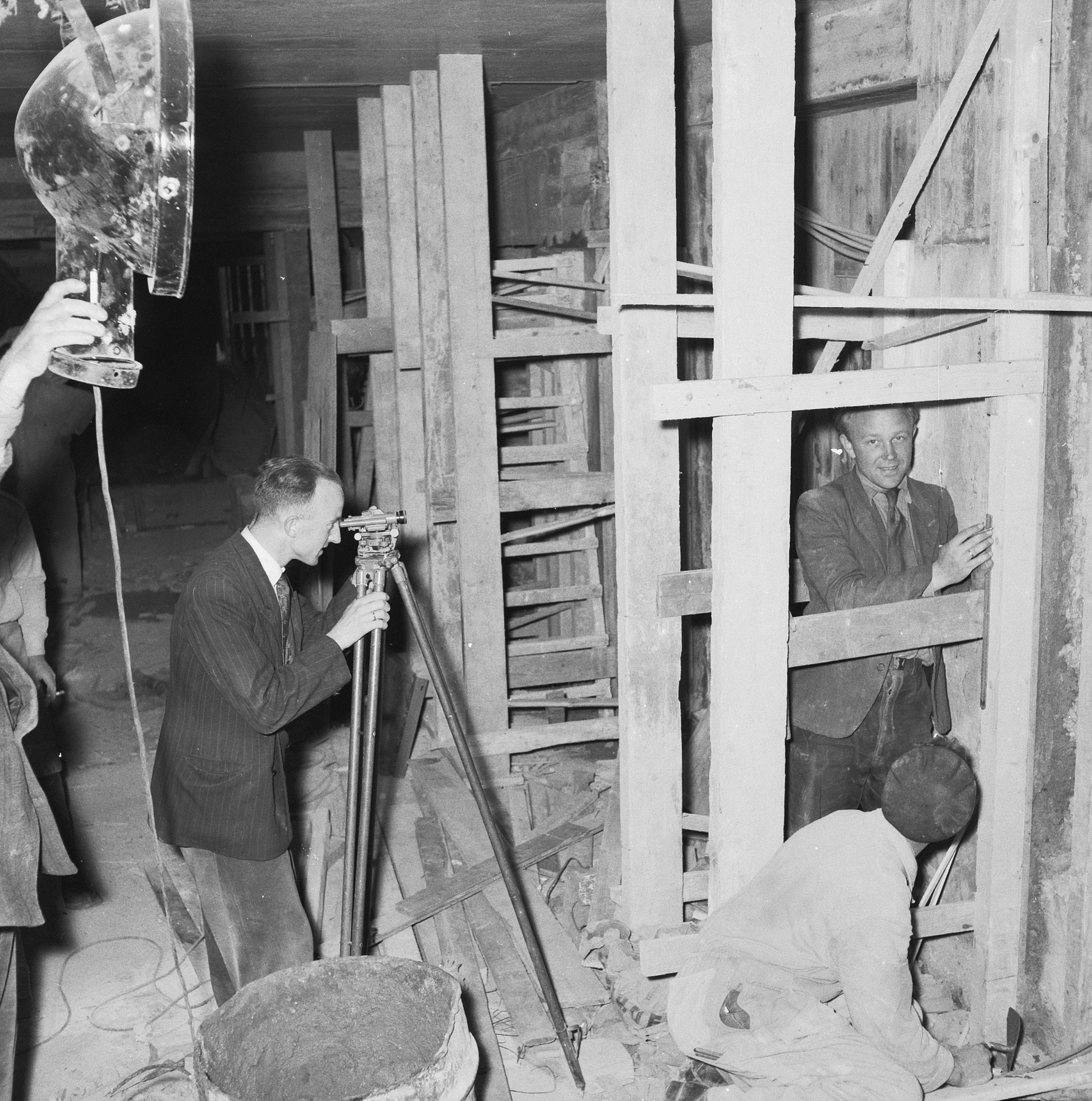
Surveying answers two questions about the ground: where is each point in plan, and how high is it? Chain surveying answers the first with a network of triangles measured by tape; levelling answers the second by carrying a reduced level from a benchmark with a level and staff. Master the level book here — it underlies contours, drainage and every grading decision.
Learning objectives
By the end of this lesson, you will be able to — mapped to the course outcomes for Surveying, Levelling & Site Planning:
Explain the triangulation principle of chain surveying and its instruments.
Define the levelling terms — benchmark, RL, backsight, foresight, HI.
Reduce a level book by the HI method and apply the arithmetic check.
Distinguish the four plane-table methods.
Chain survey
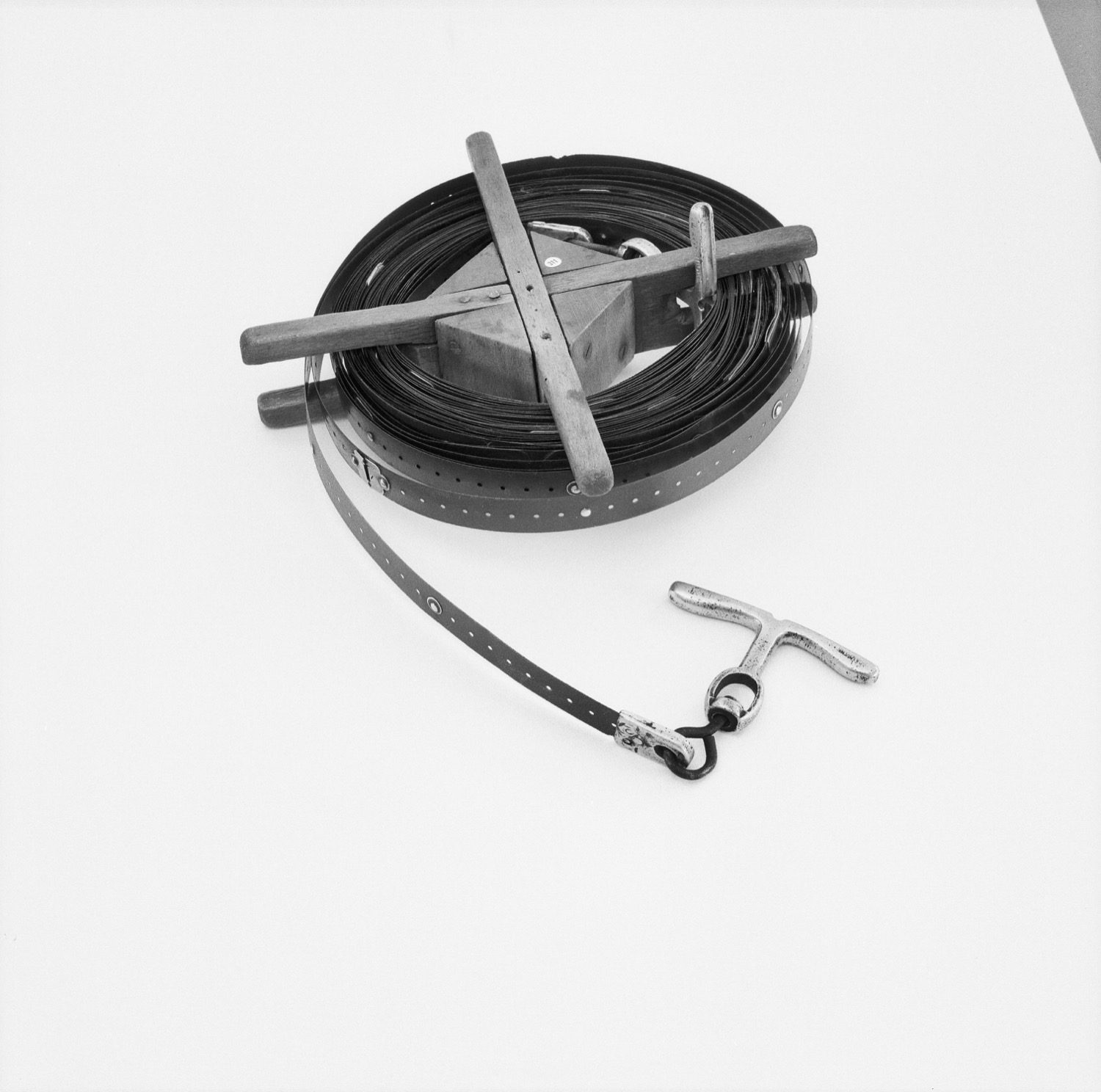
Chain surveying divides the site into well-conditioned triangles and measures only their sides, locating features by offsets and fixing the line by ranging.[1, 2]
A network of triangles
Chain surveying divides the area into well-conditioned triangles (no angle below ~30° or above ~120°) and measures only their sides — no angles. It suits small, open, fairly level sites.[1]
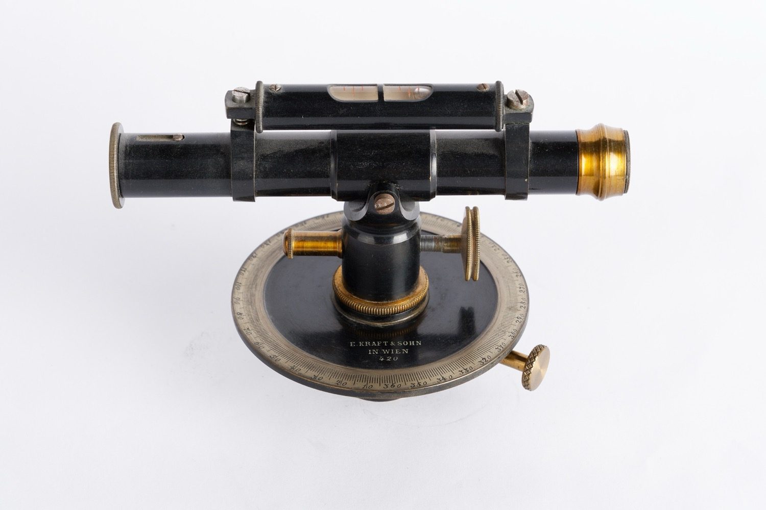
Levelling
A level gives a horizontal line of sight; staff readings on a benchmark (backsight) and on new points (foresight, intermediate) carry the reduced level across the site — reduced by the HI or rise-and-fall method, with an arithmetic check.[1, 3]
Reduce a level book
Drive the HI method: a benchmark at 100.000 m with a backsight of 1.500 m gives a height of instrument of 101.500 m, and each staff reading subtracts from it to give that point's reduced level.
Reduced levels · height-of-instrument method
HI = RL + BS; then each RL = HI − reading. A higher reading means lower ground.
0.000 m
Height of instrument HI
0.000 m
RL of A
0.000 m
RL of B
0.000 m
RL of C
BM 100.000 + BS 1.500 → HI 101.500; readings 2.0 / 0.8 / 2.5 → RL 99.500 / 100.700 / 99.000.
HI vs rise-and-fall
| Aspect | One | The other |
|---|---|---|
| Core formula | HI: RL = HI − reading | Rise & fall: RL = previous ± rise/fall |
| Checks every point | HI: no (IS unchecked) | Rise & fall: yes |
| Speed | HI: faster with many IS | Rise & fall: slower |
| Arithmetic check | ΣBS − ΣFS = Last − First RL | = ΣRise − ΣFall as well |
| Ranging | Direct: ends intervisible | Reciprocal: obstruction between |
Key terms
A point of known reduced level relative to the datum.
The height of a point above (or below) the datum.
The first staff reading after setting up, on a point of known RL; gives HI.
The last reading before moving the level; carries the RL forward.
Any reading between the BS and FS at one set-up.
RL of the line of collimation = RL of point + its BS.
A point with both an FS and a BS, transferring RL when the level moves.
Fixing intermediate points on a straight survey line (direct or reciprocal).
Worked example
Benchmark RL 100.000 m; backsight 1.500 m → HI = 101.500 m. Staff readings of 2.000, 0.800 and 2.500 m give reduced levels of 99.500, 100.700 and 99.000 m. The arithmetic check (ΣBS − ΣFS = last RL − first RL) holds. Try it in the calculator.
Self-assessment
1. In the HI method, the height of instrument is —
2. Reciprocal ranging is needed when —
3. Fixing the plane table's own position from known plotted points is —
Recap
References & further reading
- [1]B.C. Punmia, A.K. Jain & A.K. Jain, Surveying Vol. I. New Delhi: Laxmi Publications.
- [2]S.K. Duggal, Surveying Vol. I. New Delhi: McGraw-Hill Education.
- [3]T.P. Kanetkar & S.V. Kulkarni, Surveying and Levelling, Part I. Pune: PVG Prakashan.
Further reading
- B.C. Punmia, Surveying Vol. I & II. Laxmi Publications.
- S.K. Duggal, Surveying Vol. I & II. McGraw-Hill.
- T.P. Kanetkar & S.V. Kulkarni, Surveying and Levelling. PVG Prakashan.
Sources gathered and fact-checked June 2026. Published values vary by source, sample and method — treat as indicative and confirm against the cited standard before structural use.
The author
Amogh N P
Architect, interior designer, and creative polymath. Studio Matrx began in his notebooks — his vision of design made honest, useful, and open to everyone. Its Academy is written and taught in his memory, and free, forever.
More about Amogh →