

Site Inventory, Analysis & Planning
Reading a site's opportunities and constraints before you design.
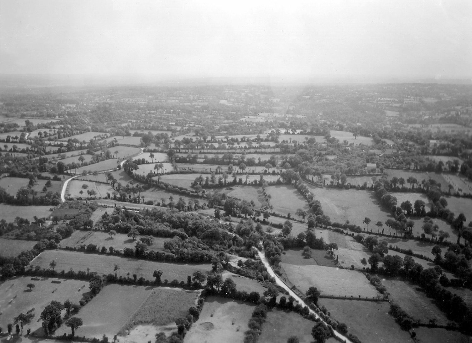
The survey produced a base plan; now you read it for design. Site analysis inventories everything on and around a parcel and interprets it as opportunities to exploit and constraints to work around — so the building responds to its context instead of fighting it. This is where surveying meets the studio.
Learning objectives
By the end of this lesson, you will be able to — mapped to the course outcomes for Surveying, Levelling & Site Planning:
Explain why a site is analysed before design and what is inventoried.
Read a site's characteristics as opportunities and constraints.
Use slope analysis to identify buildable versus difficult ground.
Apply the site-analysis diagram and site-planning principles.
Inventory, analyse, plan
Inventory the physical, climatic and cultural factors; interpret them; then plan with the land. The site-analysis diagram overlays it all on a base plan as a tool for thinking, and slope analysis finds the buildable ground.[1, 2]
Opportunities & constraints
Site analysis is the pre-design study of everything on and around a parcel, interpreted as opportunities (a view, a south face, a tree, a quiet edge) and constraints (a steep grade, a noisy road, a setback, a flood-prone low point). Design then becomes a reasoned response to context.[1, 2]

Going deeper
Site analysis runs straight into landscape and climate. For more, see the Studio Matrx landscape guides and the companion Environmental Studies and Building Services courses for drainage, climate and orientation.
Reading the site
| Aspect | One | The other |
|---|---|---|
| Verdict | Opportunities: exploit (view, south face) | Constraints: work around (steep, noisy) |
| Data type | Natural: topography, soil, hydrology | Man-made: roads, utilities, zoning |
| Views | Good: frame with windows | Bad: screen with walls / service zones |
| Slope for building | Gentle: buildable, drains well | Steep: earthwork, retaining, often left open |
| The diagram | Used as: analysis / thinking tool | Not: decoration |
Key terms
Pre-design study interpreting site data into opportunities and constraints.
The organised record of all site characteristics — the data before interpretation.
The configuration of the land surface — its shape, slope and relief.
The area draining to a common outlet; defines the site's drainage pattern.
Localised climate on a site differing from the regional climate.
The ease of reaching a site by road, transit, foot and emergency vehicles.
Minimum unbuilt margin to the boundary, and the floor-area ratio — both state/local-specific.
Edward T. White's graphic overlay of site data, used as a design-thinking tool.
Study task
Draw a site-analysis diagram for a real plot near you: mark the sun path and prevailing wind, the access point, noise sources, good and bad views, slope direction and drainage, and trees to keep. Then write two opportunities and two constraints the diagram reveals.
Self-assessment
1. Edward T. White's site-analysis diagram is primarily —
2. On a contour plan, tightly spaced lines on a site indicate —
3. In India, the exact FSI and setbacks for a plot are set by —
Recap
References & further reading
- [1]Kevin Lynch & Gary Hack, Site Planning (3rd ed.). Cambridge, MA: MIT Press, 1984.
- [2]Edward T. White, Site Analysis: Diagramming Information for Architectural Design. Architectural Media, 1983.
- [3]Joseph De Chiara & Lee Koppelman, Urban Planning and Design Criteria. New York: Van Nostrand Reinhold, 1982.
- [4]Edward T. White, Site Analysis (on the site-analysis diagram as a design tool).
Further reading
- Kevin Lynch & Gary Hack, Site Planning. MIT Press.
- Edward T. White, Site Analysis. Architectural Media.
- Joseph De Chiara & Lee Koppelman, Urban Planning and Design Criteria.
Sources gathered and fact-checked June 2026. Published values vary by source, sample and method — treat as indicative and confirm against the cited standard before structural use.
The author
Amogh N P
Architect, interior designer, and creative polymath. Studio Matrx began in his notebooks — his vision of design made honest, useful, and open to everyone. Its Academy is written and taught in his memory, and free, forever.
More about Amogh →