
B.Arch CurriculumFree, forever
A tribute to Amogh N P
Advanced Practice & Technique in Conservation
You cannot conserve what you have not recorded. Before a single repair, a monument must be measured, drawn, photographed and filed — precisely enough that the work can be understood, monitored and, if the worst happens, rebuilt. This elective is the TECHNOLOGY of that recording: why documentation is a charter obligation (the Venice Charter's Article 16), the spectrum of techniques from a tape measure to a laser scanner, geographic information systems that hold a whole historic city as queryable layers, photogrammetry that turns ordinary overlapping photographs into a measured 3D model, and the discipline of turning raw data into an archived, metadata-tagged record that will still be readable in fifty years. When Notre-Dame burned in 2019, a 2010 laser scan of a billion points made faithful reconstruction possible — that is what this course is about. The conservation philosophy is a companion course; here the subject is the survey, the scan and the record.
Course byAmogh N P· Architect & interior designer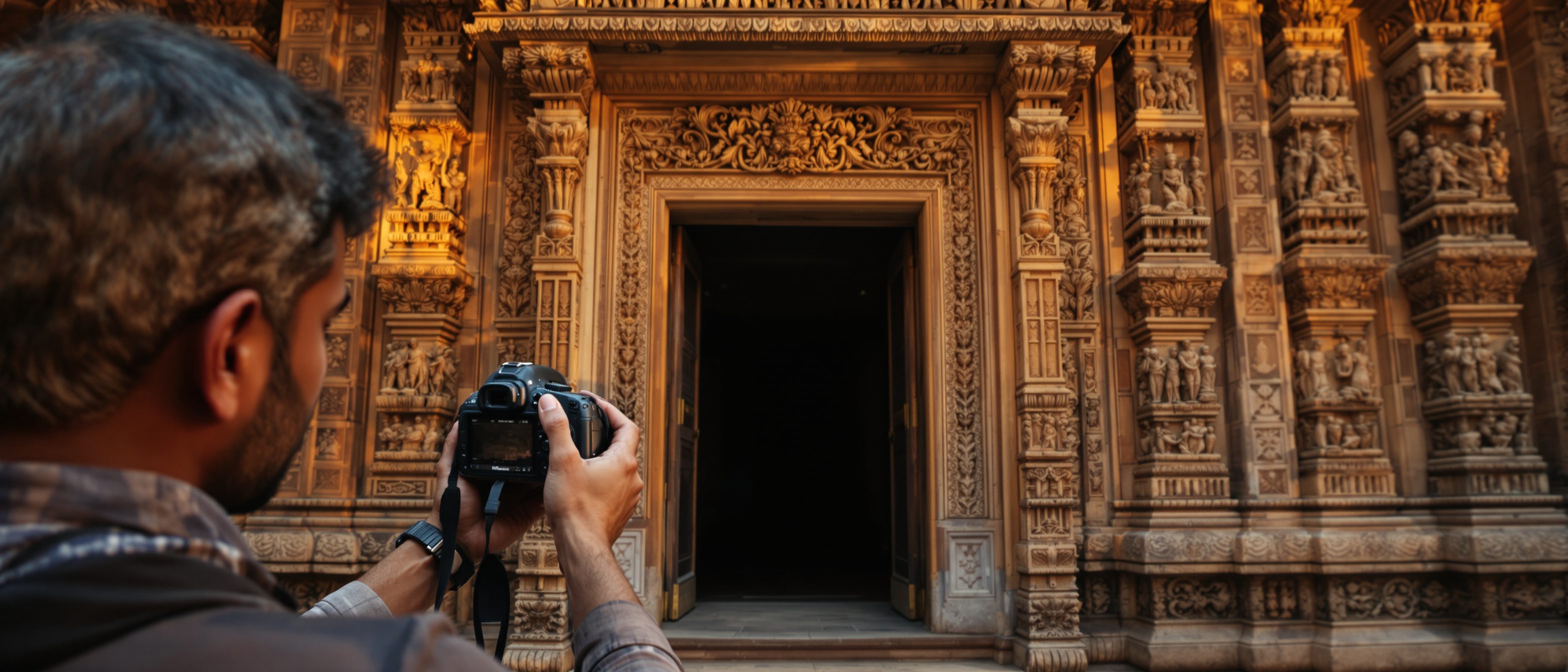
The syllabus
5 units · 5 liveTranscribed from the official B.Arch syllabus. All 5 units are live as full interactive lessons, each with original diagrams, a self-assessment quiz and a studio task.
Unit 1 — The Need for Documentation
LiveWhy heritage is documented — knowledge, management, monitoring and record before loss (the Notre-Dame case); the standards that require it — the Venice Charter (Article 16), the ICOMOS Recording Principles (1996) and CIPA; Indian bodies (ASI, INTACH, the NMMA, 2007); and the methods of inventory, survey questionnaires and data recording.
Unit 2 — Techniques for Various Scales
LiveThe crucial difference between DATA and DOCUMENTATION; the spectrum of techniques from hand survey through rectified photography, photogrammetry and laser scanning to drones and HBIM, and what each is good for; Historic England's four levels of survey, chosen to suit purpose and significance; and documenting at the scale of an object, a building, a site or a landscape.
Unit 3 — Geospatial Data & GIS for Heritage
LiveGIS fundamentals — vector (points, lines, polygons + attributes) versus raster (a grid of cells), layers and attribute tables; georeferencing historic maps onto modern coordinates to study change over time; spatial analysis (overlay, buffer, proximity) for heritage listing, risk and zoning; and how GIS differs from CAD.
Unit 4 — Photogrammetry
LiveDeriving 3D measurement from 2D photographs — the principle of parallax and triangulation (like binocular vision), stereo-photogrammetry and modern Structure-from-Motion; scale, control points and camera calibration; key parameters (image overlap and Ground Sample Distance); aerial versus close-range photogrammetry; and the outputs — point cloud, mesh, orthophoto and DEM/DTM/DSM.
Unit 5 — Data Display, Reporting & the Record
LiveTurning data into documentation — measured drawings and orthophotos derived from scans and photogrammetry; the heritage record and its archive with metadata (the Venice Charter's public archive); the process model from capture to archive; HBIM and the digital twin as a queryable database; and the hard problem of digital preservation and obsolescence.
Course outcomes
What you will be able to doExplain why heritage is documented and the standards and bodies that require it.
Choose appropriate documentation techniques for different scales and components.
Use geospatial data and GIS — including historic maps — for heritage.
Explain and apply photogrammetry to document heritage in 3D.
Display, query and report documentation data as an archived record.
Distinguish data from documentation and address digital preservation.
The author
Amogh N P
Architect, interior designer, and creative polymath. Studio Matrx began in his notebooks — his vision of design made honest, useful, and open to everyone. Its Academy is written and taught in his memory, and free, forever.
More about Amogh →You cannot conserve what you have not recorded.
The survey, the scan, the GIS layer, the orthophoto and the archived record. Read the five units, study the diagrams, then test yourself.
The curriculum is free, forever