
Photogrammetry
3D from photographs — overlap, control and outputs.
Photogrammetry turns ordinary photographs into a measured 3D model. Learn the principle — a point seen in two or more overlapping photos is fixed by parallax and triangulation; classical stereo and modern Structure-from-Motion; the need for scale, control and calibration; the parameters — image overlap and Ground Sample Distance; aerial versus close-range; and the outputs — point cloud, mesh, orthophoto and DEM/DTM/DSM. Try the photogrammetry-overlap explorer.
Learning objectives
By the end of this lesson, you will be able to — mapped to the course outcomes for Advanced Practice & Technique in Conservation:
Explain the photogrammetric principle of parallax and triangulation.
Distinguish stereo-photogrammetry from Structure-from-Motion.
Plan overlap, control and GSD for a heritage capture.
Identify the outputs — point cloud, orthophoto, DEM/DTM/DSM.
The principle & SfM
A point in two or more overlapping photos is fixed by triangulation, exactly as two eyes give depth; modern Structure-from-Motion builds 3D from many ordinary photos — provided there is scale and control.[1, 2]
Parallax & triangulation
PHOTOGRAMMETRY derives 3D measurement from 2D photographs. The principle: a point visible in TWO OR MORE overlapping photographs taken from DIFFERENT positions can be fixed in 3D by TRIANGULATION — intersecting the rays from each camera to the point. This exploits PARALLAX, the same geometry as human binocular vision: two eyes (two viewpoints) give depth. MISCONCEPTION→correct: 'one photo can give a 3D model' — a single image has no inherent depth or scale; you need at least two overlapping images from different positions.[1, 2]
Set the overlap
Slide the forward overlap and watch the photo footprints and the reliability verdict change — heritage close-range work commonly uses about 60–80% forward overlap.
Photogrammetry overlap · set the forward overlap
Heritage close-range work commonly uses about 60–80% forward overlap (and 30–60% side). More overlap = more redundancy.
A point must appear in two+ overlapping photos to be fixed in 3D — too little overlap leaves holes.
Parameters & outputs
Overlap and Ground Sample Distance set the quality; aerial and close-range photogrammetry produce point clouds, meshes, measurable orthophotos and elevation surfaces (DEM/DTM/DSM).[1, 3]
Overlap & GSD
Two parameters decide quality. IMAGE OVERLAP: photos must overlap heavily so every point appears in several images — commonly about 60–80% forward (and 30–60% side); heritage close-range work often uses 80%+. More overlap means more redundancy and reliability. GROUND SAMPLE DISTANCE (GSD) is the real-world size that ONE PIXEL covers — a smaller GSD means finer detail; it depends on the sensor, focal length and distance. MISCONCEPTION→correct: 'more resolution is always better' — match GSD and overlap to the required level of detail, not to the maximum the kit allows.[3]
At a glance
| Aspect | Detail | Note |
|---|---|---|
| Viewpoints | One photo: no 3D | Two+ overlapping: 3D by parallax |
| Method | Stereo: oriented pairs | SfM: many photos, auto-matched |
| Camera | SfM: ordinary photos work | …with overlap, scale & calibration |
| Platform | Aerial/drone: terrain, DEM, ortho | Close-range: façades, objects |
| Orthophoto | Corrected, uniform scale | Measurable, unlike a raw photo |
Key terms
Deriving reliable 3D measurement from 2D photographs.
Depth from two viewpoints; intersecting rays fix a 3D point.
3D from many overlapping ordinary photos, auto-matched by software.
Known references that tie a model to real-world scale and coordinates.
How much consecutive photos share / the real size one pixel covers.
A measurable corrected image / elevation surfaces (terrain, bare earth, surface).
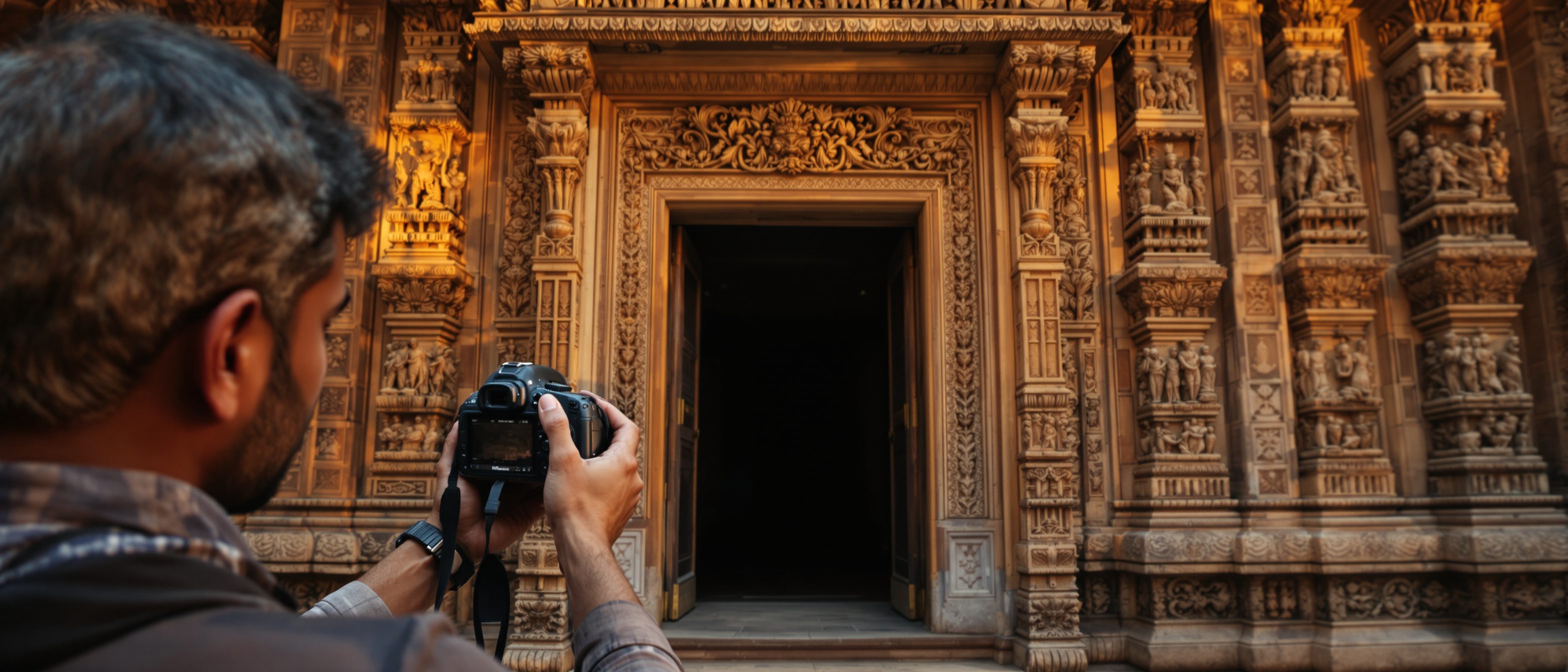
Studio task
Plan a photogrammetric capture of a carved temple doorway. State how many photos and what overlap you would use (use the explorer), how you would give the model scale and control, and what outputs you would generate. Then explain in two sentences why a single photo cannot produce a 3D model, and how an orthophoto differs from an ordinary photo.
Self-assessment
1. Photogrammetry obtains 3D from photographs by —
2. Structure-from-Motion (SfM) is notable because it —
3. An orthophoto differs from a normal aerial photo because it is —
Recap
References & further reading
- [1]Historic England, Photogrammetric Applications for Cultural Heritage — principle, aerial vs close-range, outputs.
- [2]Luhmann et al., Close-Range Photogrammetry and 3D Imaging — triangulation, SfM, control and calibration.
- [3]Agisoft / Pix4D documentation — overlap, Ground Sample Distance, orthophoto, DEM/DTM/DSM.
- [4]MacDonald (ed.), Digital Heritage: Applying Digital Imaging to Cultural Heritage — heritage photogrammetry in practice.
Further reading
- Luhmann, Robson, Kyle & Boehm — Close-Range Photogrammetry and 3D Imaging.
- MacDonald — Digital Heritage: Applying Digital Imaging to Cultural Heritage.
- R. Agor — Advanced Surveying.
Sources gathered and fact-checked June 2026. Published values vary by source, sample and method — treat as indicative and confirm against the cited standard before structural use.
The author
Amogh N P
Architect, interior designer, and creative polymath. Studio Matrx began in his notebooks — his vision of design made honest, useful, and open to everyone. Its Academy is written and taught in his memory, and free, forever.
More about Amogh →