
Spatial Analysis Using GIS
Overlay — combining layers to ask new questions.
This is the analytical heart of GIS — where layers combine to answer questions no single map can. Learn OVERLAY, the signature operation: stacking and combining layers so "residential" AND "near a road" AND "flood-safe" produce a NEW layer of plots that satisfy all three; GIS modelling and data processing (digitization, topology, metadata); AM/FM for utilities; and turning the result into maps and reports. Overlay turns a stack of maps into an argument.
Learning objectives
By the end of this lesson, you will be able to — mapped to the course outcomes for GIS Modelling in Urban & Regional Planning:
Perform overlay functions to combine layers.
Manipulate attribute data and build a GIS model.
Explain GIS data processing — digitization, topology, metadata.
Explain AM/FM and map and report generation.
Overlay & modelling
Overlay combines layers' geometry and attributes into a new layer (intersect, union); chaining operations builds a GIS model, and metadata makes the data trustworthy.[1, 2]
Combine layers, get new data
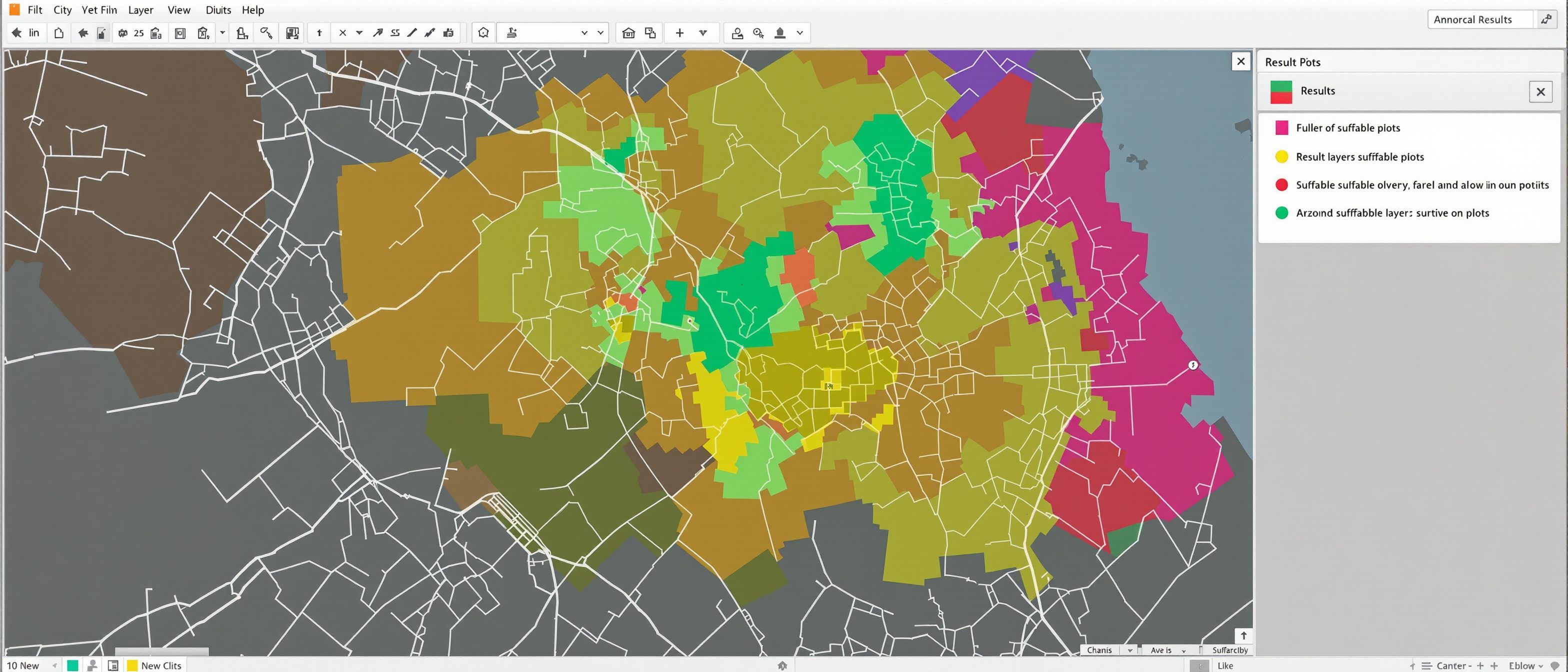
OVERLAY is the signature GIS analysis: combine two or more LAYERS so their geometry AND attributes merge into a NEW layer. INTERSECT keeps only where layers overlap (plots that are residential AND near a road AND flood-safe); UNION keeps everything from both; and others clip, erase or identity. With BUFFERING (a zone around a feature — 'within 500 m of a road') and attribute QUERIES, overlay lets a planner ask 'WHERE do these conditions all hold?' and get an answer as a map. MISCONCEPTION→correct: 'overlay just stacks pictures' — overlay combines the DATA, producing new features with new attributes you can measure and map; it is computation, not collage. This is the foundation of suitability analysis (Unit V).[1, 2]
AM/FM, maps & reports
AM/FM applies GIS to utility networks — connected and attributed for tracing and maintenance; and the map and report are the real deliverable, so clear, honest cartography is part of the analysis.[3, 1]
Mapping the network
AUTOMATED MAPPING and FACILITY MANAGEMENT (AM/FM) is GIS applied to UTILITIES and INFRASTRUCTURE networks — water, sewerage, power, roads, telecom. It keeps an accurate, connected map of every pipe, cable, valve and pole with its attributes (size, material, age, condition), so a utility can locate assets, trace a network, plan maintenance and respond to faults. For a city, AM/FM turns scattered as-built drawings into a single live infrastructure model. MISCONCEPTION→correct: 'AM/FM is just a map of pipes' — its value is the connected, attributed NETWORK that supports tracing, analysis and asset management, much like BIM does for a building.[3]
At a glance
| Aspect | Detail | Note |
|---|---|---|
| Overlay | Combines layers' data | New features, new attributes |
| Intersect vs union | Where both hold vs everything | The logic of the question |
| A GIS model | A chain of operations | Repeatable map algebra |
| Metadata | Source, date, accuracy, projection | Makes data trustworthy |
| AM/FM | GIS for utility networks | Connected, attributed, traceable |
Key terms
Combining layers' geometry and attributes into a new layer (intersect, union…).
A zone around a feature — 'within 500 m of a road'.
A repeatable chain of operations — cartographic modelling / map algebra.
Data about the data — source, date, accuracy, projection.
Automated Mapping / Facility Management — GIS for utility networks.
Communicating analysis as maps and reports from the data.
Lab task
Design an overlay to find sites for a new school: list the layers you would combine, the buffer (e.g. "not within 200 m of a main road") and the conditions, and whether you would intersect or union. Then explain why metadata (source, date, projection) must accompany each layer, and what makes a result map honest rather than misleading.
Self-assessment
1. An INTERSECT overlay of 'residential', 'near a road' and 'flood-safe' layers gives you —
2. Metadata in a GIS is —
3. AM/FM (Automated Mapping / Facility Management) applies GIS to —
Recap
References & further reading
- [1]ESRI, Understanding GIS — overlay, queries, and map and report output.
- [2]C. D. Tomlin, Geographic Information Systems and Cartographic Modeling — overlay, map algebra, metadata.
- [3]AM/FM GIS references — automated mapping and facility management for utilities.
Further reading
- C. D. Tomlin — Geographic Information Systems and Cartographic Modeling.
- Fotheringham & Rogerson — Spatial Analysis and GIS.
- ESRI — Understanding GIS.
Sources gathered and fact-checked June 2026. Published values vary by source, sample and method — treat as indicative and confirm against the cited standard before structural use.
The author
Amogh N P
Architect, interior designer, and creative polymath. Studio Matrx began in his notebooks — his vision of design made honest, useful, and open to everyone. Its Academy is written and taught in his memory, and free, forever.
More about Amogh →