
Form & Spatial Studies
Recording shape and space by measured drawing
The third aspect is the core technical craft: reading a building’s form and space by measured drawing. It begins with an accurate, honest survey — tape, laser and, for complex work, photogrammetry — recorded with method and honest about what could not be reached. The measurements become plans, sections and elevations to scale. Then you analyse: massing and proportion, and the plan organisation, spatial sequence and circulation. This is where measurement becomes understanding — the drawings are evidence, not the end.
Learning objectives
By the end of this lesson, you will be able to — mapped to the course outcomes for Field Study & Documentation:
Measure a building accurately with tape, laser and, where needed, photogrammetry.
Draw a building to scale in plan, section and elevation.
Analyse its form and space — massing, organisation, sequence and circulation.
Measuring and drawing
A survey’s aim is a true set of measurements, honestly recorded — tools (tape, laser, photogrammetry) scaled to the job, using method like running dimensions and triangulation. The measurements become plan, section and elevation to a stated scale, with a scale bar and north point.[1, 2]
Accurate, honest survey
Recording FORM and SPACE begins with MEASURING the building accurately. The tools scale with the job: a MEASURING TAPE and folding rule for most work; a LASER DISTANCE METER for speed and long spans; and, for complex or fragile fabric, PHOTOGRAMMETRY (measuring from photographs) and 3D laser scanning. Good survey uses method — running dimensions along a line, TRIANGULATION to fix irregular points, checking as you go — and records HONESTLY, noting what could not be reached. The aim is a true set of measurements from which an accurate drawing can be made; a careful survey is the foundation everything else rests on.[1, 2]
Form and spatial studies
With the drawings made, you analyse. Massing and proportion read the building’s overall shape and character; and the plans and sections reveal the space — plan organisation, spatial sequence and circulation — showing how the building works and is experienced, not just how it looks.[3]
Reading the whole shape
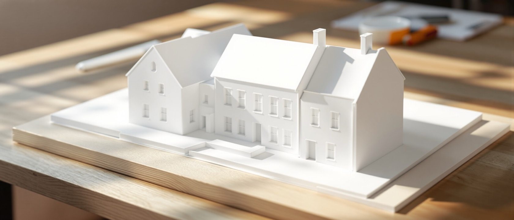
With the drawings made, you ANALYSE the FORM. MASSING is the building's overall three-dimensional shape and how its volumes compose — tall or low, simple or articulated, symmetrical or free. PROPORTION is the relationship of its parts and openings. Reading massing and proportion from the elevations and a model reveals the building's character and the intentions behind its shape. This is where measurement becomes understanding: the drawings are not the end but the evidence, and analysing them is how a field study moves from recording to genuinely reading a building.[3]
At a glance
| Aspect | The fact | The folklore |
|---|---|---|
| A survey's aim is | A true set of measurements, honestly recorded | A quick guess that looks precise |
| Survey tools scale to | The job — tape, laser, photogrammetry, scanning | Always the fanciest available |
| A building is drawn in | PLAN, SECTION and ELEVATION, to a stated scale | One nice perspective |
| Massing analysis reads | The building's overall shape and proportion | Only its floor area |
| Spatial study reveals | Organisation, sequence and circulation — how it works | Only how it looks |
| The drawings are | Evidence to analyse — recording becomes understanding | The end in themselves |
Key terms
A scaled drawing of a building made from actual on-site measurements — the core technical craft of documentation, recording form and space precisely.
The instruments of measuring — tape and folding rule, laser distance meter, and photogrammetry and 3D scanning for complex work — chosen for the job and accuracy needed.
Fixing an irregular point by measuring its distance from two known points — a survey method for recording non-rectangular plans accurately.
The three orthographic records — a horizontal cut (plan), a vertical cut (section) and a face-on view (elevation) — that together describe a building's form and space to scale.
A building's overall three-dimensional shape and how its volumes compose — read from elevations and a model to reveal its character and intent.
The experience of moving through a building from entrance inward, and the paths and thresholds that connect its spaces — read from the plans and sections.
Study task
Measure and draw one space of your building. Survey it accurately — use a tape or laser, take running dimensions along each wall, triangulate to fix any irregular corners, and take overall check dimensions; note honestly anything you could not reach. Then produce a measured drawing to a stated scale: a plan, at least one section and one elevation, with a scale bar and a north point. Finally, analyse what you drew — the massing and proportion, and the organisation, spatial sequence and circulation. Write two or three sentences on how the space is organised and experienced. The goal is to turn accurate measurement into a genuine reading of form and space.
Self-assessment
1. What is the aim of a building survey?
2. What three drawings describe a building's form and space?
3. What does analysing a building's MASSING reveal?
4. What does a spatial study reveal that a plan alone doesn't?
Recap
References & further reading
- [1]Architectural surveying and measuring existing buildings — tape, laser, triangulation and photogrammetry (measured-drawing and building-survey guides; HABS/Historic England recording practice). https://historicengland.org.uk/
- [2]Measured drawing and orthographic projection — plan, section and elevation to scale (Francis D.K. Ching, Architectural Graphics; architectural-graphics references). https://www.wiley.com/
- [3]Analysing form and space — massing, organisation, spatial sequence and circulation (Francis D.K. Ching, Architecture: Form, Space, and Order). https://www.wiley.com/
Further reading
- Francis D.K. Ching, Architecture: Form, Space, and Order.
- Francis D.K. Ching, Architectural Graphics.
- Historic England, Understanding Historic Buildings (measured survey).
Sources gathered and fact-checked June 2026. Published values vary by source, sample and method — treat as indicative and confirm against the cited standard before structural use.
The author
Amogh N P
Architect, interior designer, and creative polymath. Studio Matrx began in his notebooks — his vision of design made honest, useful, and open to everyone. Its Academy is written and taught in his memory, and free, forever.
More about Amogh →