
The Urban Design Studio
The space between buildings — and how to read a city.
Urban design is the craft of the space between buildings — the public realm that gives a 2D masterplan three-dimensional life. It sits at the interface of architecture (the building) and town planning (2D land use and policy). Learn that “scale between”, the studio process from survey to jury, and the tools for reading a real city — figure-ground, urban morphology, and Lynch's five elements used as an analysis overlay, not just a theory.
Learning objectives
By the end of this lesson, you will be able to — mapped to the course outcomes for Architectural Design IX:
Define urban design as the 3D public realm between architecture and planning.
Sequence the urban design studio process from survey to jury.
Read a city by figure-ground and urban morphology.
Overlay Lynch's five elements as a diagnostic analysis tool.
The space between buildings
Urban design is the 3D design of the public realm — it shapes the streets, blocks and squares many buildings will share, and runs a disciplined studio process from survey to jury.[1]
Architecture, urban design, planning
ARCHITECTURE designs the individual building. TOWN PLANNING is largely 2D — land-use allocation, policy and statutory development control at the city and regional scale. URBAN DESIGN is the THREE-DIMENSIONAL design of the public realm and the space BETWEEN buildings — streets, blocks, squares, precincts — mediating between the two. Carmona's definition: 'the process of making better places for people than would otherwise be produced.' MISCONCEPTION→correct: 'urban design = town planning' — planning is 2D land-use/policy; urban design is the 3D physical design of the public realm.[1]
Reading the city
Before you change a city, read it — its solids and voids by figure-ground, its DNA by morphology, and its image through Lynch's five elements used as a diagnostic overlay.[2, 3, 4]
The Nolli plan
FIGURE-GROUND analysis blackens the built fabric and whitens the open space to reveal the STRUCTURE of the public realm — its solids and voids. Its ancestor is Giambattista Nolli's map of Rome (1748), which drew enclosed PUBLIC interiors (the Pantheon, St Peter's) as white 'public' space too — mapping the public-space NETWORK, not just buildings. A figure-ground of your site instantly shows whether the public realm is a connected network or a residue.[2]
At a glance
| Aspect | Architecture / planning | Urban design |
|---|---|---|
| Scale | Architecture: a building | Urban design: the public realm |
| Dimension | Planning: 2D land use/policy | Urban design: 3D physical form |
| Designs | Architecture: the object | Urban design: the space between |
| Output | Planning: statutory plan | Urban design: framework + form code |
| Timeframe | Building: one project | Framework: many buildings, over time |
Key terms
The 3D design of the public realm and the space between buildings.
A solid-void map (after Nolli, 1748) revealing the public-space structure.
The study of urban form — streets, plots and buildings (Conzen).
Paths, edges, districts, nodes, landmarks — the image of the city.
How easily a place is understood and pictured.
The spatial structure that coordinates many buildings over time.
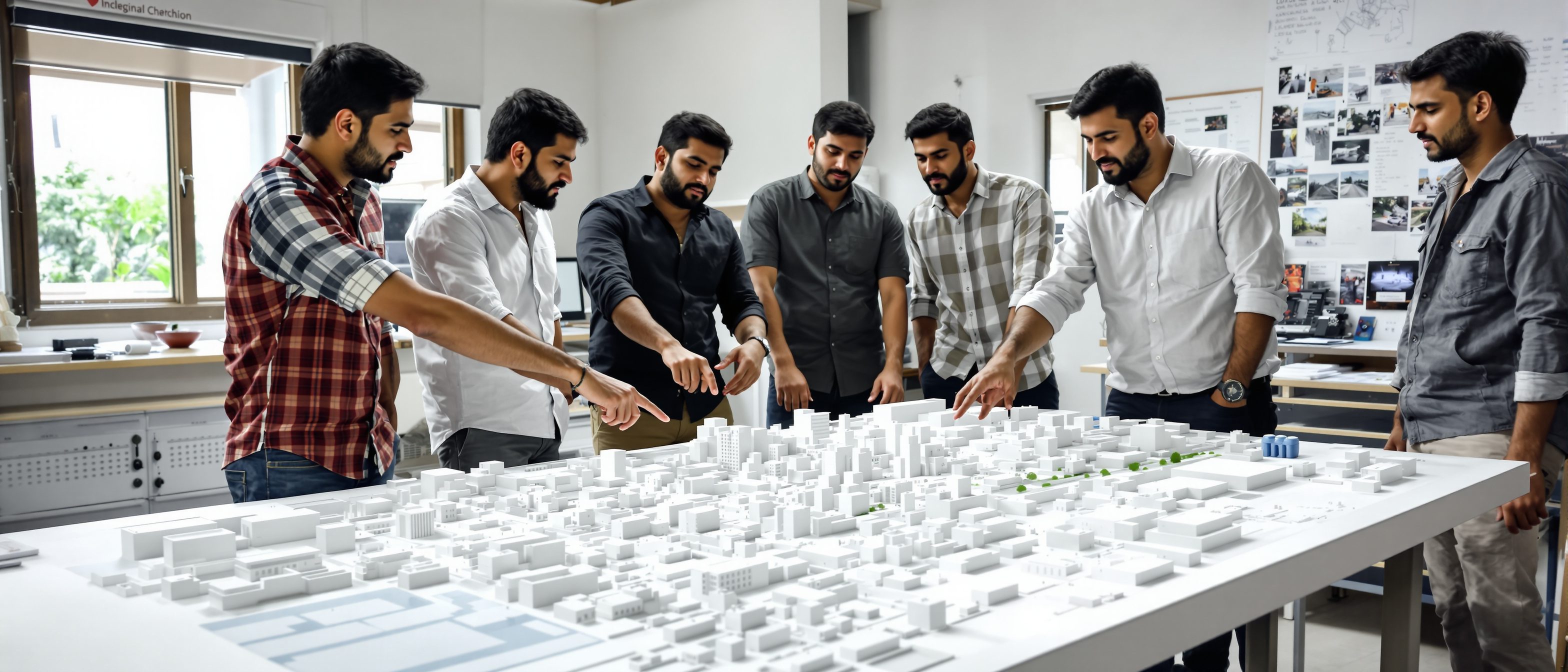
Studio task
Choose a familiar precinct of your city. Draw a quick figure-ground of three or four blocks (fabric black, space white) and decide whether its public realm is a connected network or a residue. Then overlay Lynch's five elements — mark the paths, edges, districts, nodes and landmarks — and name one weak node or missing landmark you would design to strengthen.
Self-assessment
1. Urban design is best described as —
2. A figure-ground drawing reveals —
3. In the studio, Lynch's five elements are used as —
Recap
References & further reading
- [1]Carmona, Heath, Oc & Tiesdell, Public Places — Urban Spaces: The Dimensions of Urban Design (Routledge) — definition, the field.
- [2]Roger Trancik, Finding Lost Space (Van Nostrand) — figure-ground, the Nolli plan, solid-void theory.
- [3]M.R.G. Conzen, Alnwick, Northumberland: A Study in Town-Plan Analysis (1960) — urban morphology.
- [4]Kevin Lynch, The Image of the City (MIT Press, 1960) — paths, edges, districts, nodes, landmarks.
Further reading
- Carmona et al. — Public Places Urban Spaces.
- Kevin Lynch — The Image of the City.
- Roger Trancik — Finding Lost Space.
Sources gathered and fact-checked June 2026. Published values vary by source, sample and method — treat as indicative and confirm against the cited standard before structural use.
The author
Amogh N P
Architect, interior designer, and creative polymath. Studio Matrx began in his notebooks — his vision of design made honest, useful, and open to everyone. Its Academy is written and taught in his memory, and free, forever.
More about Amogh →