
 Lesson 7.4
Lesson 7.4 · BIM in Construction
Model to Field: Layout, AR & Reality Capture
Closing the gap between the model and the muddy, unforgiving real site
A perfect model in the office is worthless on a site that cannot see it — and dangerous if no one checks it against reality.
Everything so far assumes the model reaches the people building, and that what they build matches it. Neither is automatic. A model on a screen in the site office does not, by itself, tell a worker where to drill; and a building rising in the field does not, by itself, report whether it matches the design. The gap between the model and the muddy, unforgiving real site is where a lot of BIM value quietly leaks away.
Three technologies close that gap, in two directions. Going *from* model *to* field: digital layout sets out the model's exact points on the real site, and augmented reality (AR) overlays the model onto what the worker actually sees. Coming *from* field *to* model: reality capture — laser scanning and photogrammetry — records what was actually built, so it can be compared against the design. Together they make the model a working presence on site and keep it honest against reality — which, as this whole module has insisted, is the difference between BIM that helps and BIM that lies.
Take the model to the site; bring the site back to the model. Do both, and neither gets to lie to you.
Model to field: layout and AR
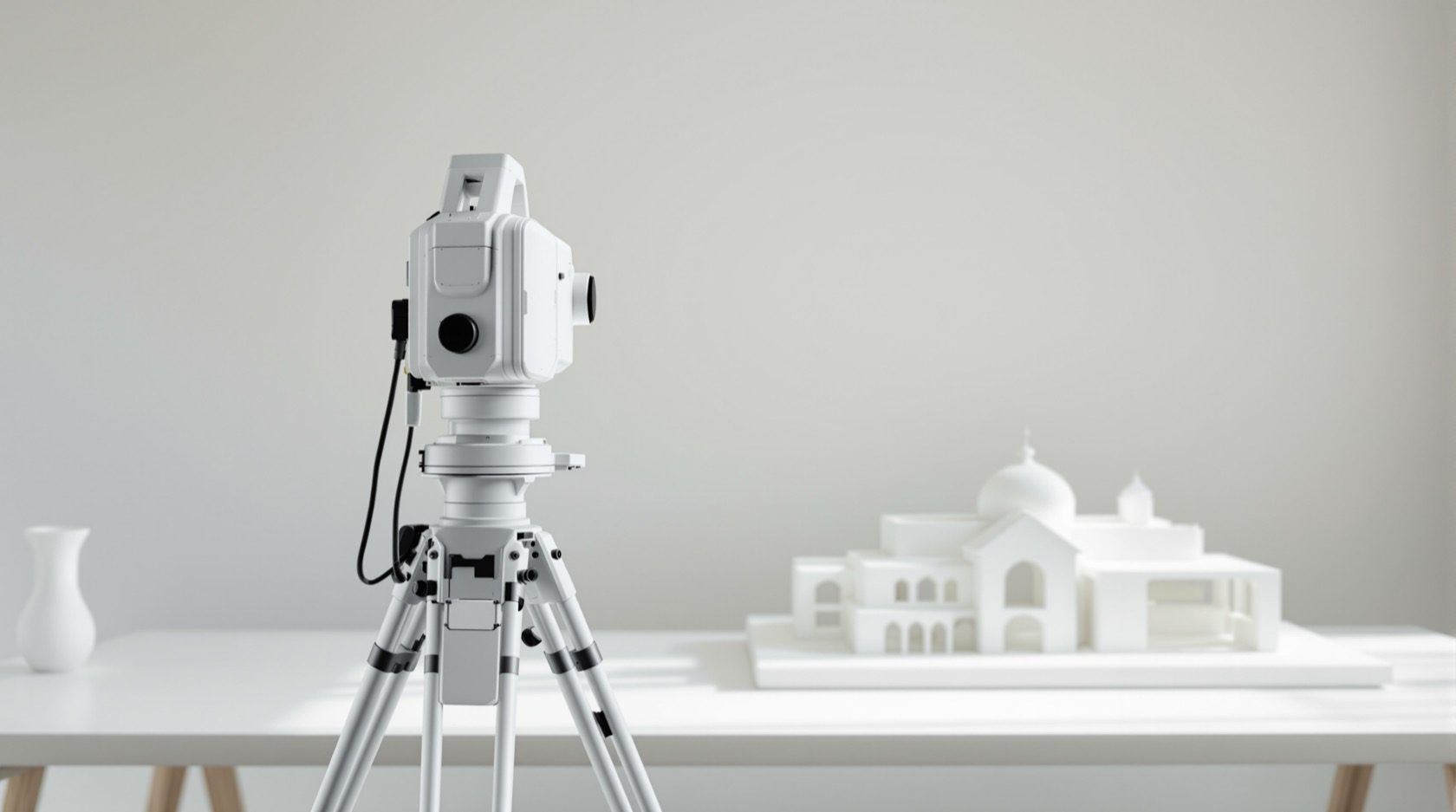
Getting the model *onto* the site takes two forms. Digital layout replaces the tape measure and the string line: a robotic total station (or similar positioning tool) takes the exact coordinates of points from the model — where a wall starts, where an anchor bolt goes, where a penetration is needed — and marks them on the real site to millimetre accuracy. The setting-out that used to be manual, slow and error-prone becomes a direct transfer from the coordinated model to the ground, so what gets built sits exactly where the model said.
Augmented reality goes further, overlaying the model onto the worker's actual view — through a tablet, a phone or a headset — so they can *see* the design in place: this duct runs here, at this height; this is where the services sit above the ceiling before it is closed. AR turns the model from something you consult on a screen into something you see superimposed on the work in front of you, catching 'that's not where I thought it went' before it is built wrong. Both technologies share a precondition worth stating plainly: they are only as good as the model behind them. Lay out precisely from a wrong model and you build the wrong thing, precisely.
Field to model: reality capture
The reverse direction may matter even more. Reality capture records the physical site as it actually is — most powerfully through laser scanning, which produces a dense point cloud of millions of measured points, and through photogrammetry, which builds 3D geometry from photographs. The result is a precise, measured record of what is really there — the existing building before you start, or the new work as it is actually built.
That record does two crucial jobs. First, scan-to-BIM: capturing an existing or heritage building as a point cloud and modelling from it, so renovation and retrofit start from reality rather than guesswork (this is the basis of HBIM, Module 8). Second, as-built verification and progress monitoring: scanning the new construction and comparing it against the design model, to check that what was built matches what was designed — and to measure, objectively, how much has been done. This is the honest counterweight to every optimistic claim on a construction site: not 'the drawings say it should be here', but 'the scan shows where it actually is'. Reality capture is how the model is held accountable to the ground truth.
The model says where it should be. The scan says where it is. The gap between them is the truth everyone needs.
Closing the loop — and the honesty that runs through it all
Put the two directions together and you have a closed loop between model and reality: the model drives the layout and guides the work (model to field), and reality capture checks the result and feeds the true as-built state back (field to model). That loop is how a project keeps its model and its building in agreement instead of letting them silently drift apart — and it is what makes the honest 5D payment of lesson 7.2 and the trustworthy handover of the next module possible, because the as-built model that flows into operation is verified against a scan, not just assumed.
The honesty, one last time for this module, is that these are powerful aids, not autopilot. Digital layout and AR are only as truthful as the model; a confident overlay of a wrong model is confidently wrong. Reality capture produces enormous, precise data, but a point cloud is not a model — turning it into useful information takes skill and judgement, and comparing scan to design still needs a human to decide what a deviation means. The field is messy, and no technology removes the need for care. But used well, this loop is the fitting close to BIM in construction: it takes the model out of the office and onto the ground, and — just as importantly — it drags the ground truth back to the model, so that everything downstream is built on what is *actually there*, not what someone hoped was there. That is the discipline the whole course has been arguing for, made physical on a construction site.
Scan the site — where does reality diverge from the model?
The design model — what should be built
as designed
as designed
as designed
as designed
as designed
as designed
On screen, every element sits exactly where it was designed. But the site diverges from the plan constantly. Run reality capture to see where the real building actually differs.
Three altitudes on the same idea
Read the band that fits you — or all three.
Learn the two directions that close the loop. Model to field: digital layout (a robotic total station marks the model's exact points on the real site, replacing tape and string) and AR (overlays the model on the worker's actual view, so they see where things go). Field to model: reality capture — laser scanning (a dense point cloud of millions of measured points) and photogrammetry (3D from photos) — records what was actually built, for scan-to-BIM (model an existing building from reality) and as-built verification (compare the scan to the design). Together they make the model a real presence on site and keep it honest against reality. The catch: all are aids, not autopilot — only as truthful as the model, and a point cloud still needs skill to become information.
Use layout and AR to build from the model, and reality capture to verify it. Set out from the coordinated model with digital layout for millimetre accuracy; use AR to check placement before things are closed up. Scan the site for as-built verification and progress — comparing point cloud to model to see where reality diverges — and scan existing buildings for scan-to-BIM before renovation. Remember the precondition: layout and AR are only as good as the model, so verify model quality first (a precise layout of a wrong model builds the wrong thing precisely). And treat a point cloud as raw truth that still needs judgement to interpret; the scan shows where things are, but a human decides what a deviation means.
Invest in the model-reality loop, because it makes the rest trustworthy. Digital layout and AR get the coordinated model accurately onto the ground; reality capture brings the true as-built state back. That closed loop is what keeps the model and the building in agreement — and it underpins honest 5D payment (work verified, not just claimed) and a trustworthy PIM-to-AIM handover (an as-built model checked against a scan, not assumed). Fund it where accuracy and verification carry real value, and set expectations: these are powerful aids dependent on model quality and skilled interpretation, not autopilot. The strategic point is that reality capture is how you hold the whole project accountable to ground truth — the physical embodiment of the honesty discipline this course has argued throughout.
“Digital layout and AR put the model on site, so whatever they show must be right.”
Do it yourself
Trace the loop between model and reality, in both directions.
- 1Model to field: pick a task — setting out anchor bolts for a steel column. Describe how digital layout would mark their exact positions from the model, and what AR would let the worker see before drilling.
- 2Ask the precondition question: if the model's bolt positions were wrong, what would digital layout produce? (Precisely-placed wrong holes.) Note that the technology is only as good as the model.
- 3Field to model: now the column is up. Describe how a laser scan (a point cloud) would let you check whether it was actually built where the model said — as-built verification — and measure progress objectively.
- 4Finally, close the loop in one line: how does this two-way flow (model guides the work; scan verifies and feeds back the truth) keep the model and the real building from silently drifting apart — and why does that matter for 5D payment and for handover?
The one line to carry out
That completes BIM in construction — sequencing, payment, prefabrication, and the loop between model and field. The building is now built, and the model has been kept honest against it. Module 8 follows the information into the building's long life: handover, digital twins, facility management and heritage.
The author
Amogh N P
Architect, interior designer, and creative polymath. Studio Matrx began in his notebooks — his vision of design made honest, useful, and open to everyone. Its Academy is written and taught in his memory, and free, forever.
More about Amogh →